Dianne’s Top Ten Stops on the AlCan Highway

It’s not your typical tourist must-see list, but here are a few of my personal favorites, from north to south.

Dall’s Sheep in Kluane
  1. Kluane National Park

Kluane National Park is a big park, a sister park to Wrangell St. Elias in the U.S. The tallest mountain in Canada , Mt. Logan, is here, along with an awful lot of other REALLY tall mountains. There are glaciers, lakes, rivers, Dall’s Sheep, grizzly bears, etc., etc., etc. You’re driving by it for about 75 miles as you drive down the AlCan, you may as well make a stop and take a few pictures even if you don’t take the time to hike. But take a hike if you can.

Highway near Haines Junction
  1. Village Bakery & Deli in Haines Junction.

Really good coffee can be a little hard to come by on the AlCan. This place has great coffee – as well as fantastic breads, yummee sweet treats, savory snacks, and delicious meals. And then there’s the vibe. Such a happy welcoming  place. They also have free wifi if you’ve been out of touch for a few days and need to check your e-mail.

The Village Bakery is a seasonal business, usually opening in late April and closing in mid-September. At one time or another I’ve hit both their first day and last day of the season, and I’m always sad if I’m too early or too late in my travels to catch them open. Best coffee shop on the AlCan – a don’t miss if you’re traveling through during the warmer months of the year.

Keep an eye open for bears!
  1. Whitehorse

The only real city on the highway, it’s got everything you need. Time for an oil change or need some car repair? You can get it here and not have to wait til sometime next week for your appointment. Need to buy a few things to get you through? There are grocery stores as well as big box stores like Canadian Tire and Walmart. There are specialty businesses. For instance, my computer bit the dust and there was an Apple dealer in town so I could get it looked at.

There’s culture and nightlife – some, at least. There’s a lot of history, being an epicenter of Klondike Gold Rush activity. There’s a good library. All the things a city is good for, but not a lot of the bad things about cities.

I don’t like cities, but Whitehorse is small enough to not stress me out. Traffic ain’t bad, there are beautiful places to go quite close to town. You can camp in the center of town, or stay at a youth hostel or a B&B. It’s a good place to land for a night.

Watch for buffalo near Contact Creek.
  1. Contact Creek

Cheapest place to buy gas for hundreds of miles in either direction. ‘Nuff said.

Liard Hot Springs
  1. Liard Hot Springs

I love it, and not just cuz my name is Mil-liard! Everyone’s #1 favorite stop along the AlCan, these semi-developed, but not overly developed hot springs are just a short walk along a boardwalk trail away. You can camp at the nearby campground and visit the hot springs at any time of the day or night. It’s just a sweet spot in the middle of nowhere.

There’s lots of wildlife nearby. You’ll often see Wood Bison on the road and it’s not unusual to run into a moose near the boardwalk. Once when I was there, some folks even saw otters playing at the lower pool! Be very aware of bears, though.

Stone’s Sheep
  1. Muncho Lake

Beautiful turquoise lake with very cool mountains and glacial rivers surrounding it. Great place to see caribou and Stone’s Sheep. Maybe one day I’ll actually go through when a campground is open and spend a little more time. I sure would like to!

Toad River
Toad River
  1. Toad River Lodge

A beautiful setting with very nice and relatively inexpensive cabins if you’re looking for a bed for the night. Toad River Lodge has a restaurant, too, with typical diner food.

Caribou on the road
  1. Stone Mountain Provincial Park

The day you see both Stone Mountain and Muncho Lake is by far the most beautiful day on the AlCan. Another great place for Stone’s Sheep and caribou sightings.

near Tetsa River
  1. Tetsa River

See Ben at Tetsa River Lodge (tetsariverlodge@gmail.com) for the best cinnamon rolls on the AlCan – Ben’s boast about the best cinnamon rolls in the galactic cluster is true – they may very well be the best cinnamon rolls you’ve ever had! They are humongous and delicious – a full meal, maybe two! Ben also has a bed for the night if you need one, makes and sells homemade sausages, and has a nice gift shop with lots of books and local crafts.

Just past Tetsa River Lodge is Tetsa River Campground. This is a great place to camp, especially as the next few hundred miles take you through the oil patch between Fort Nelson and Fort St. Johns – definitely NOT my favorite part of the AlCan!

Ruffed Grouse
  1. Kiskatinaw Provincial Park

A surprisingly nice little area tucked away off the beaten track between Dawson Creek and Fort St. Johns, It’s very peaceful and quiet here. Look for ruffed grouse and black bears in the spring.
 

Kluane Lake Changes

I dropped this blog rather abruptly in April when my ranger job started back up. Living remote like I do, I had limited internet access. But my job ended Friday, and this ranger is rambling again. Follow my journey as I head south.

Traveling down the Al-Can Highway through Canada, one of my favorite parts of the drive is skirting the edge of Kluane National Park in the Yukon. Kluane is our sister park. Mt. St. Elias, the 2nd tallest peak in both Canada and the U.S., is shared by both Wrangell St. Elias and Kluane. They’re both part of a UNESCO World Heritage Site, one of the largest protected areas in the world.

Kluane Range

But you don’t really see the most spectacular part of Kluane from the road. The really BIG mountains and glaciers are hidden by the Kluane Ranges. What you DO see is Dall’s Sheep and beautiful scenery as the road is sandwiched between the mountains and Kluane Lake.

The highway runs next to Kluane Lake for about 40 miles. It’s a big lake. In fact, it’s the biggest lake situated entirely in the Yukon.

Kluane Lake

But the lake is changing, getting smaller. The Slims River, THE major river feeding the lake, has disappeared, a consequence of climate change.

The Slims River used to run about 12 miles from the Kaskawalsh Glacier to Kluane Lake. However, the glacier has retreated about half a mile, and something called stream capture has taken place. Now all the melt from the glacier flows into the Kaskawalsh River, eventually emptying out into the Gulf of Alaska. The Slims River is no more.

All that’s left of the Slims River is this pool in the foreground.

This signals big changes for Kluane Lake and the surrounding ecosystem. Scientists estimate the lake level will drop a meter or two, affecting fish populations. Until vegetation gains a substantial foothold, the land near the southwest corner of the lake will be subject to substantial dust storms. Eventually, though new growth will fill in, possibly creating grasslands and meadows at first, bringing in a host of different plants and animals.

This isn’t the first time the area has seen dramatic changes. Like Wrangell-St. Elias, Kluane is a young, dynamic landscape, constantly evolving. About 350 years ago, the Slims River ran in the opposite direction, draining Kluane Lake into the Gulf of Alaska.

Will this dry lakebed become a meadow?

At that time, the glacier was growing, and a lobe dammed the Slims. This caused the lake level to rise about 40 feet. The lake waters cut a new outlet, going north – what is now the Kluane River.
What will the future bring? Will we be able to watch grizzlies dig for roots in the former lakebed within a few years? It’s possible! I look forward to experiencing the changes as I head up and down the AlCan each year.


Liquid Sunshine

It rained every day since I hit the coast – not all day every day, but at some time during most days and certainly every night. I went from the high 90’s for 2 weeks in the desert to this. Be careful what you ask for. It was especially rainy throughout my travels up the Oregon Coast.

Cape Perpetua

I know it’s Oregon – but, jeez Louise this is ridiculous! I know that my timing is off. I was called back to my ranger job in Alaska a month earlier than planned, and it has knocked all my plans off schedule.

My timing was off another way, too. On the few instances when the sun was shining, it was nearly always high tide, which makes it a bit difficult to take l-o-n-g walks on the beach and explore tidal pools. I did catch part of one tidal pool, though. All anemones, no starfish.


Land’s End near Newport

I stayed overnight near Cannon Beach, since in my opinion, it is the most picturesque part of the Oregon Coast. It was foggy and misty and cold, too much so for good photography. I was hoping for better weather in the morning. Yeah, right. Add torrential downpours and wind to the mix. The weather was so ugly you couldn’t even SEE the sea stacks, much less photograph them.

I traveled up the Olympic Coast in Washington. I saw a beautiful beach, Ruby Beach, and the rain had subsided to a fine drizzle. However, it was after 7PM and I was chasing daylight, 20 miles from the next town. I told myself I would have to come back someday.

I got about 5 miles down the road, and out of nowhere, there appeared a sign – Hostel! Wow, a cheap, dry place to spend the night – and MAYBE I can try for Ruby Beach again in the morning!

The Rain Forest Hostel is a rather unusual place. The owner, Jimmy, is a Bernie Sanders supporter and espouses Bernie’s philosophy. One of Bernie’s ideas was to develop a national sense of community. Jimmy’s way of supporting this idea is to sponsor this hostel. Basically he is offering folks a bed in his home. Not quite up to IYH standards, but you can’t beat the price. There is no set price, but the suggested donation is $10. If you can afford more, great, the extra will help cover for those who cannot afford $10! The other thing is you should help with a chore before you leave (I vacuumed). Pretty kind of Jimmy to share his home in the rain forest. I certainly appreciated this refuge from the rain!

Ruby Beach

Back to Ruby Beach the next morning. It was high tide. Ah well, no tide pools or walking the beach, but I can still go down and do photography. It’s actually not raining for a moment. I walk all the way down from the bluff to the beach – and the minute I get there – the heavens break open! I can hardly see the sea stack a hundred yards away! Seems I can’t catch a break on the coast this trip.

The Pacific Northwest Coast is incredibly beautiful. I will certainly be back. But this trip has convinced me, more than ever, that I am a lizard, not a frog, more comfortable with too dry than too wet. How about you?

This Road is #1!

Mendocino Coast

I recently drove Highway 1 in California, from Morro Bay to the Oregon border. I have got to say, hats off to the California Department of Transportation. Engineering this road was quite a feat, but it seems to me maintaining it is even more amazing.

Highway 1 is definitely one of the most beautiful drives in the country, but its very existence is quite precarious. And after a stormy winter like this one….

Mendocino Coast

In a lot of places it was a one lane road, where part of the road was devastated. There were four major closures on the highway, where both lanes were damaged too badly for any kind of an easy fix. If you saw where this road goes, you would be amazed that it is only four places.

Highway One hugs the coast, a fine line between the cliffs and the sea. It travels through an incredibly dynamic landscape, a land in flux.

The San Andreas Fault runs here. This part of California is trying to move to Alaska! And tectonics, although a big game-changer, is not the major force affecting this road. It’s erosion. Water.

One lane of the highway eaten away by the surf just north of here on the Sonoma Coast

Think about it. Steep cliffs, unconsolidated soils, a heck of a lot of rain. That means mudslides. Practically everywhere, all that water and soil is trying to take a trip to the beach. Hills are slumping, attempting to erase the road, a horizontal ribbon in this vertical landscape. Not only mudslides. Rock slides, too.

The mudslides are countless, and responsible for most of the closures, but the force that really amazed me was water coming from the other direction. The sea. Waves crashing against the cliffs. Powerful. Constant. Relentless. It’s truly awe-inspiring. Eating away the ground from underneath the highway continuously, little by little. The wild and mighty Pacific.

A few miles south of the Lost Coast

In some places where the road is down to one lane, you can see there is nothing left where the other lane once ran. It is amazing to me that this road still exists at all.

Highway 1 is an incredible road, one of the most beautiful and craziest roads you will ever travel. Do travel it. Soon, while you still can.

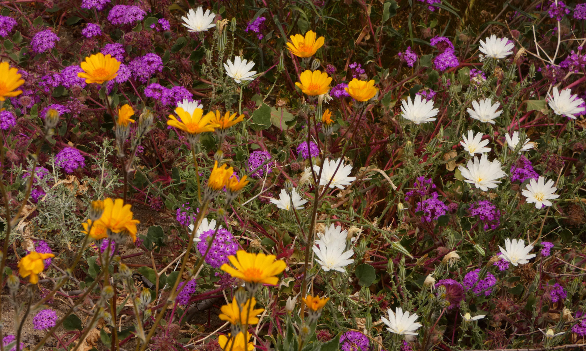
Interesting flowers, here, too!