
The Peak-to-Peak Highway is one of my favorite Colorado scenic byways. My recent sojourn down this beautiful road was an incredible trip down memory lane, scenic but also big on nostalgia.
The Peak-to-Peak is the closest access to Colorado’s alpine for folks living in the northwest Denver/Boulder metro area. Since that’s where I grew up, this road was once my favorite way into the high country.

Rocky Mountain National Park
The route starts (or ends) in Estes Park, the gateway to Rocky Mountain National Park. I spent 2 summers there in my early twenties, the first mountain town I ever lived in.
In a landscape created by the rubble left behind by ancient glaciers, lumpy ridges and random boulders painted with lichens form the bones of the land. Stately Ponderosa pines and small groves of aspen adorn huge, park-like meadows, superb habitat for herds of elk. Tromping the trails whenever I had a chance, this country crept deep into my soul as I made the transformation from a city kid to a mountain woman.

Shortly after passing Lily Lake south of Estes, there’s a turnoff to reach the Long’s Peak trailhead. Long’s Peak is the northernmost fourteener (mountain over 14,000 ft.). in Colorado It was the first fourteener I ever climbed.
It’s a scramble, not a trail, to get to the top. The climb turned into an epic adventure when we were caught near the summit by a quick-moving thunderstorm. Torrents of hail felt like ball bearings under our feet as we charged down the slippery scree-covered slope. I watched a bolt of lightning break off a chunk of the mountain the size of a small house and send it crashing down on the slope below. Intense.
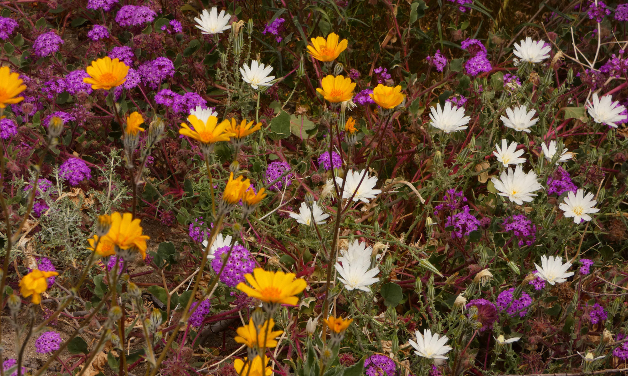
The Peak-to-Peak provides access to many other alpine adventures. Trails in the Wild Basin area near Allenspark travel along creeks filled with cascading waterfalls to pristine lakes. Climb higher, above the treeline, and immerse yourself in a tapestry of tiny tundra wildflowers.

Indian Peaks Wilderness
The Indian Peaks Wilderness lies south of Rocky Mountain National Park, just a few miles west of the highway. I remember the challenges of my first week-long backpacking trip as I revisit Brainard Lake and gaze at the peaks and passes beyond.
When I hiked the Continental Divide one summer a few years later, the Indian Peaks Wilderness was one of my favorite sections. I recall how we spent the best day of the entire trip here, up near Fourth of July Mine and Mt. Neva.

The Towns
At the foot of the Indian Peaks, you’ll find a smattering of old mining camps, towns like Ward, Jamestown, and Eldora, ghost towns turned hippie havens. The friendliest and funkiest of them all is Nederland.
It’s definitely a hippie town. It’s the home of the Carousel of Happiness. Nederland was the third community to legalize pot in Colorado, just after Denver and Breckenridge. The locals call themselves Nedheads.

Nederland celebrates the eclectic and just plain weird. Case in point – the town hosts Frozen Dead Guys Days every March. This festival celebrates the attempt by a local resident to practice a little homemade crionics, stashing his grandfather in a storage shed with a bunch of dry ice, holding out for some future date when the miracles of science could bring him back to life. Some of the fun things to do in Nederland during the festival include coffin races, frozen t-shirt contests, and a polar plunge.
Just past Nederland is Rollinsville. This old railroad town once had a fun bar, the Stage Stop (now a restaurant under new owners). I loved dancing on the timeworn hardwood floor to name acts like Tab Benoit.

Rollinsville also reminds me of my first backpacking disaster. I took my little sister and brother with me to teach them the joys of backpacking. Crossing a creek on an old log, I proceeded to teach them how to prevent hypothermia after the log snapped in two and dumped me in the creek. Then it started to snow. Eventually, the snow turned to rain and came down in torrents. It didn’t stop. In imminent danger of being stranded by flooding, we bailed and hiked out to Rollinsville to beg a ride home.
The Peak-to-Peak is one of the most popular roads in the state when the aspens turn gold. Signs on the highway warn leaf-lookers that they are not allowed to stop in the middle of the road when taking pictures of the fall colors.

The scenic byway ends at the town of Black Hawk. There aren’t many memories left for me here, though. When I was growing up, Black Hawk and neighboring Central City were practically ghost towns, rich in history but with no economic base to support their residents. The towns sponsored a referendum to allow legalized gambling to create jobs and provide some tax revenue for the county. Now there is an economic base. It seems like a new casino opens up every other week here. The facades of a few of the buildings are all that remain of the old towns.

Although the Peak-to-Peak may not hold as many memories for you as it does me, it is still well worth the travel. Views of the Continental Divide, golden aspen groves, access to wilderness and a host of delightful communities are just a few of the treasures you will find along the way.

One Reply to “Colorado’s Peak-to-Peak Highway – A Blast From My Past”
Comments are closed.